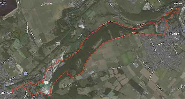
A circular route along the valley through the woods to Honley and back
- Distance – 11.6km (7.25m)
- Time – 3 1⁄2 hours
- Route Type – Moderate
From the Carlile turn right onto Huddersfield Rd
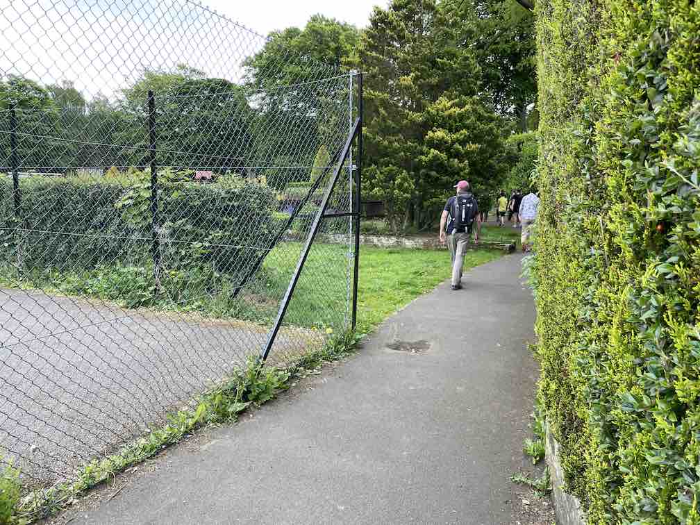
After 450m turn right, then left up the steps into the park with the tennis courts on your left
Turn right in front of shelter and carry on to car park. Walk across the grass aiming between the church on the left and turn right down track past the old school on left
Turn left onto Meltham Mills Rd and cross over
Turn right onto Huddersfield Rd again, then after 50m turn right onto Bent Ley Rd.
Walk past Neal Brothers & follow the road as it bends to the right with tip on your left.
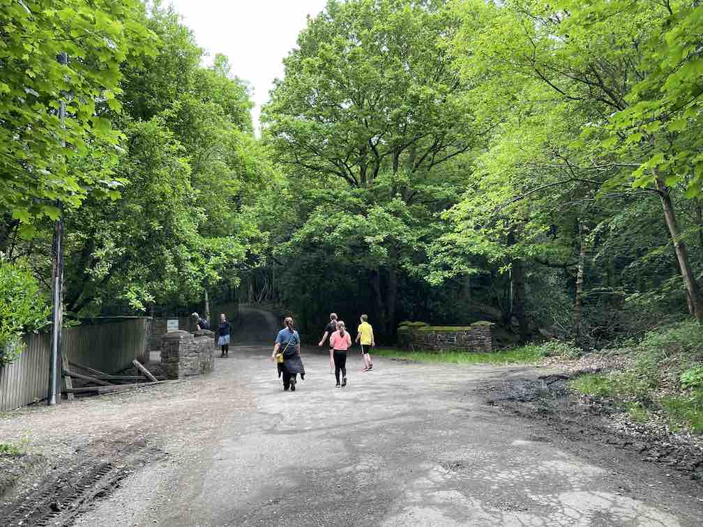
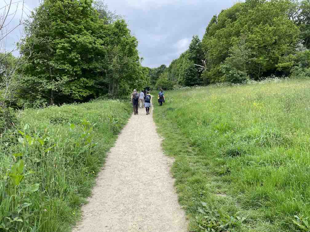
At the end of the road continue straight on into the woods.
Walk past MPS Springs on your left and bear right up dirt track.
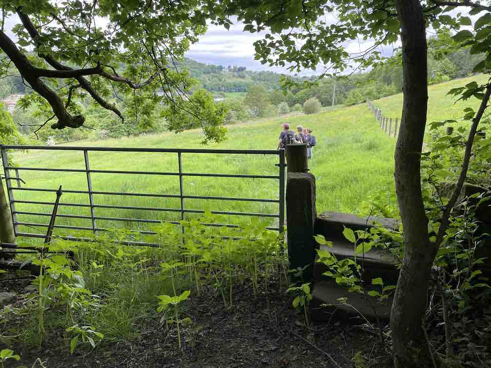
Near the end of the track just before gate turn left downhill to a stile by a gate
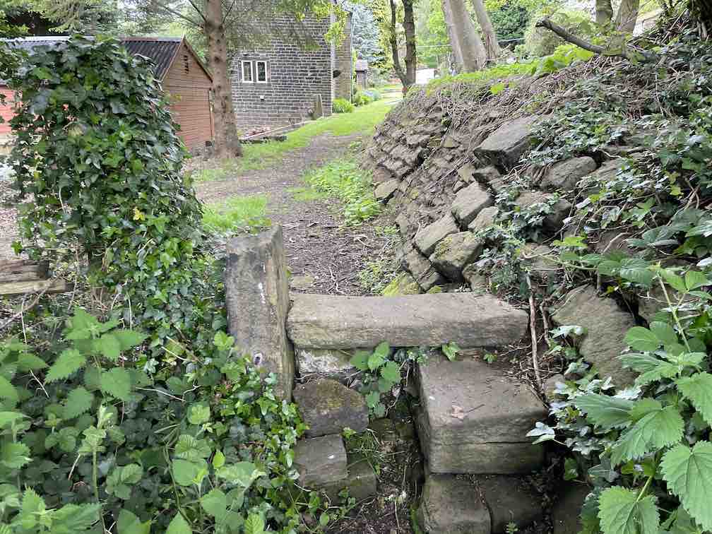
Go over the stile & walk through the field along the path with the fence to your right. Go over the next wooden stile and continue along path which eventually leads to a stone stile.
Continue past houses and onto track up hill.
Just as the track turns to cobbles, bear left onto grass path next to wall on your left.
After the stone stile go straight ahead to the well marked path with wire fences on both sides. At the end of the path turn right along the track, then at the junction turn left towards Wood Bottom Rd and then turn right along the road.
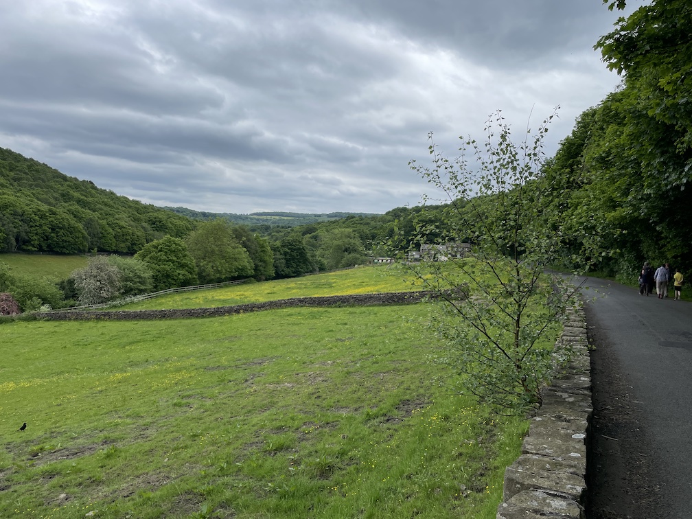
After around 600m turn left onto Lea Lane down the hill then turn first right onto Old Moll Rd.
Enjoy the view down the valley
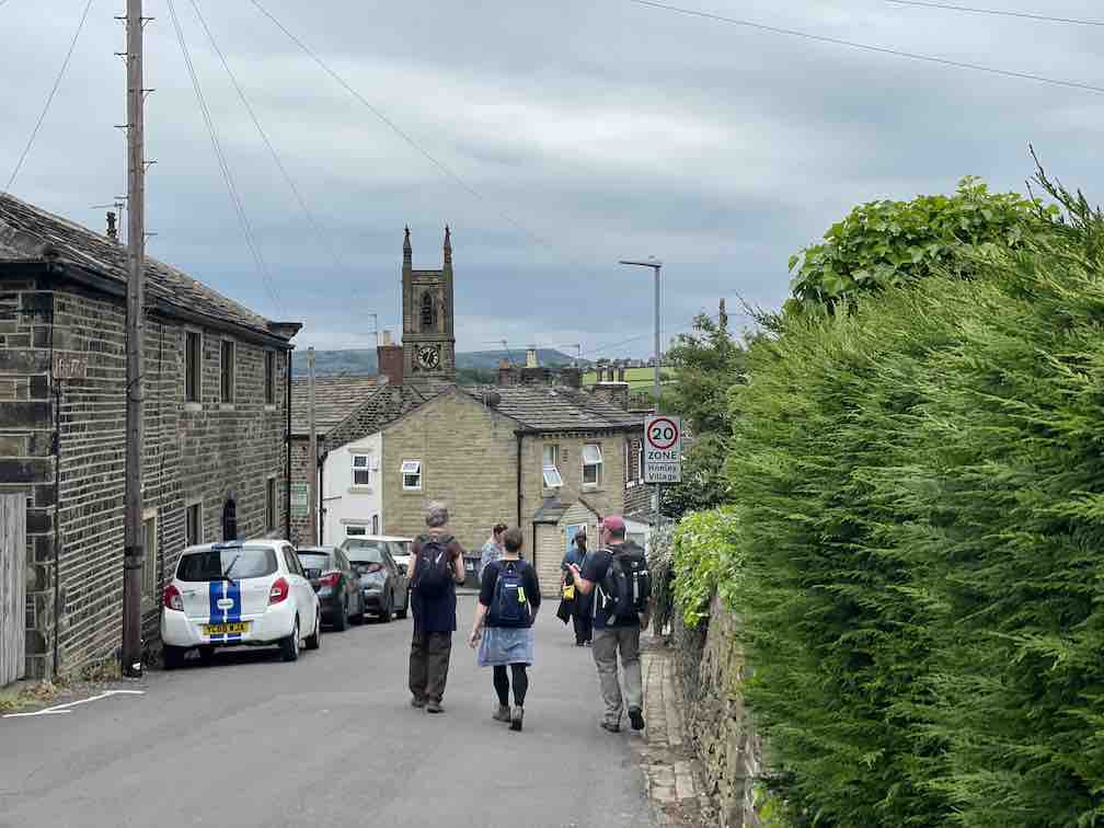
After 200m (brewery on right) bear left and continue along road. As the road opens into Honley, turn left up Thirstin Rd and walk up the hill.
At top of hill at T Junction turn left down the hill onto Sentry and round the S bend over the river.
Just over the bridge turn right down a dirt track through a gap to right of gate, then turn left onto path by a hedgerow with the stream on your left.
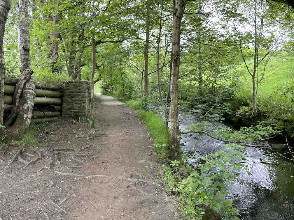
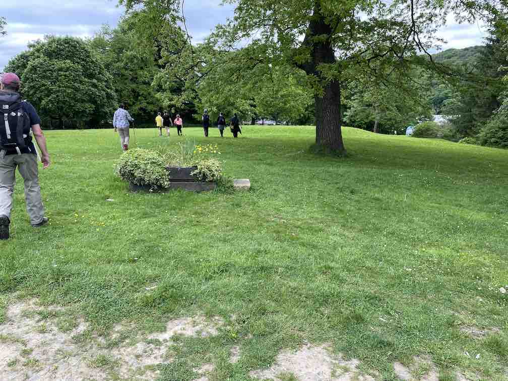
The path widens with the river on your right and the pond on your left. You can walk left along the pond or keep along the main path, they both join up further along the river.
Magdale and the waterfalls can be viewed further along the path if you want to see them.
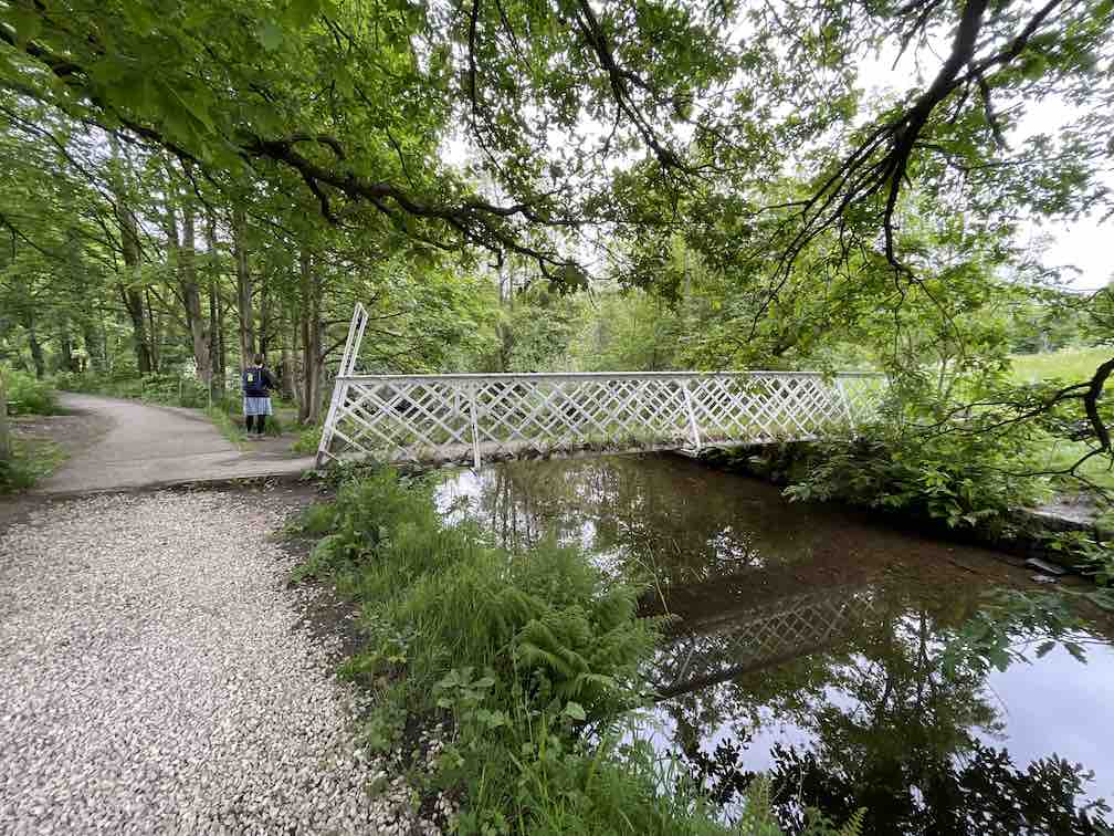
Otherwise cross the bridge over the river. (there is a nice bench if you want a rest)
Carry on along the path bearing left then take the path on the first right after a marker stone up the hill.
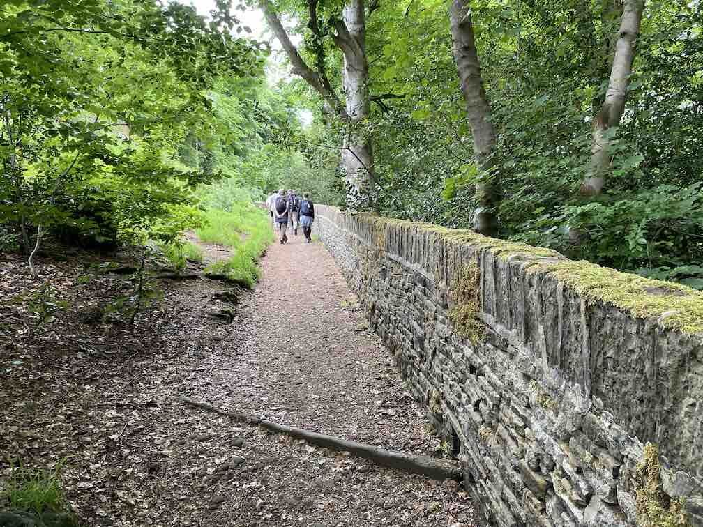
Go through a gate continuing along the walled path which bears left. Go past the commonwealth war graveyard on the left. The path opens up continue straight ahead along Green Cliff turn left at junction up the hill.
Continue down hill and turn right onto Town Head bear after a short while bear right on to Berry Croft downhill. Just before right hand turn keep straight on down cobbled path. At the end of the path turn left then first right onto Scotgate Rd and walk up the hill.
At the top of the hill bear left onto public Bridleway. The track continues turning from tarmac to a dirt path leading to Honley woods.
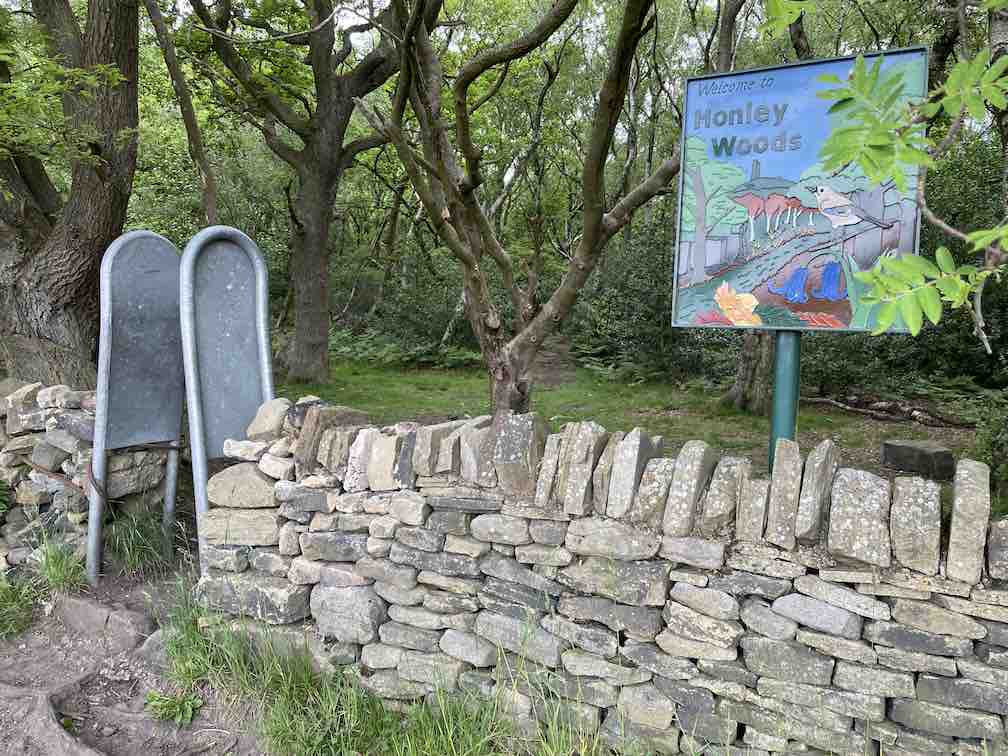
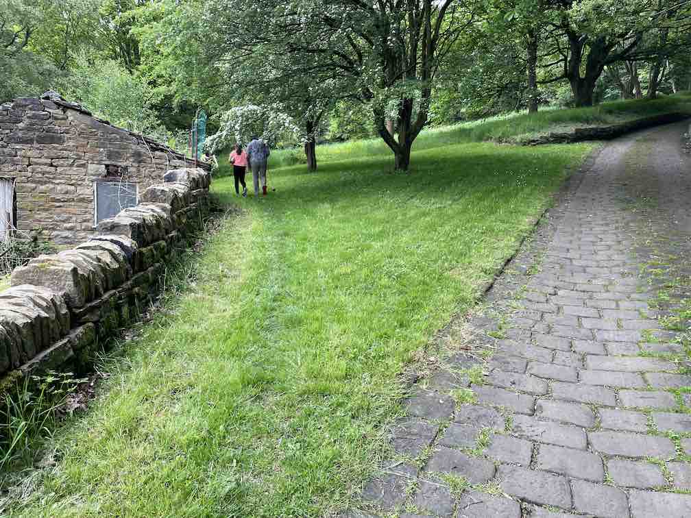
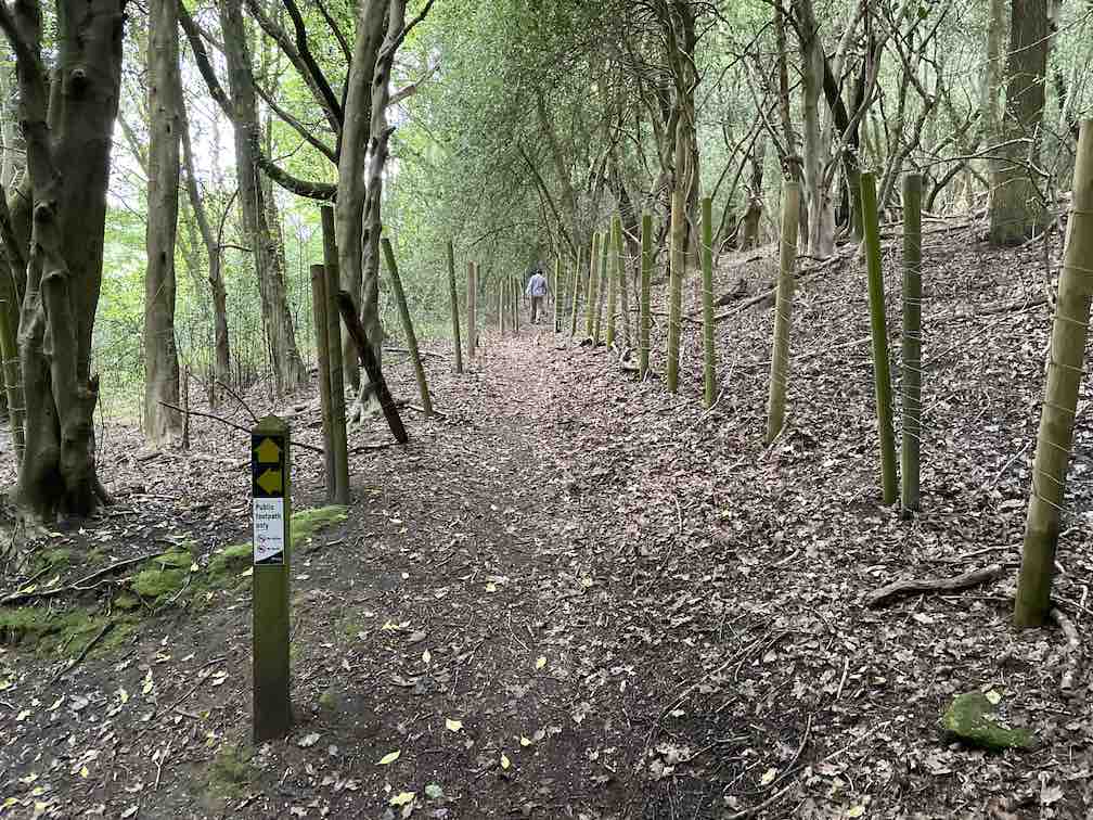
Turn left into the woods at the sign, following the footpath on the left of the woods. After about 1k, cross the lane and carry on along the path, which winds downhill, eventually leading to Meltham Mills
Turn right down Meltham Mills Rd and as the road bends to the right just past the Pleasure Grounds, turn left up Mill Bank Rd.
After 150m turn right at the footpath sign onto a walled footpath. At the end of the path turn left onto Deacon Close, then turn right onto Bishops Way continuing to Huddersfield Rd.
Turn left uphill returning to the Carlile.